Arizona

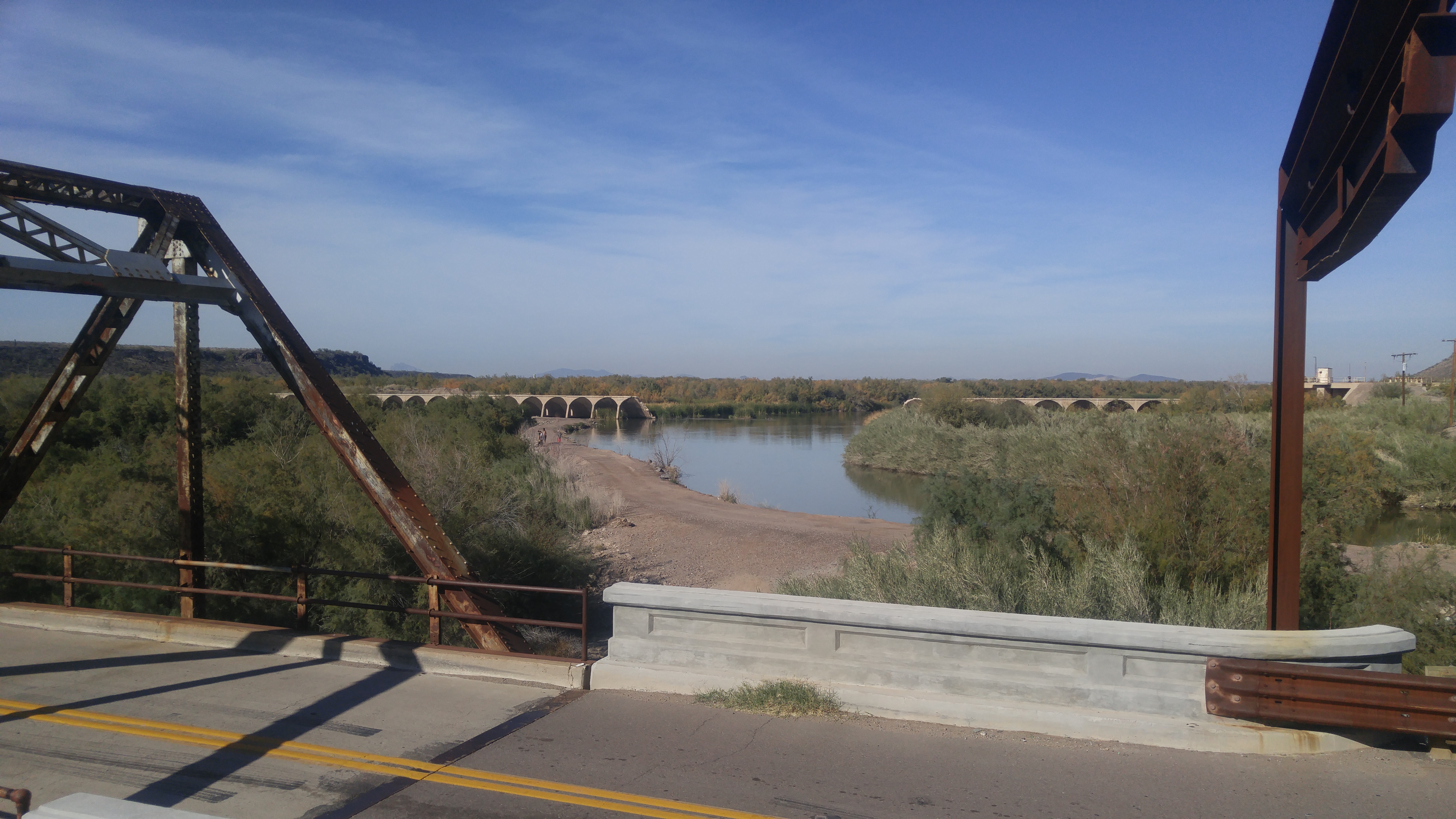
Gillespie Dam Bridge – Gila Bend Arizona

The weather down here just inspires riding, especially in the winter.   It’s been over 70 degrees the last 2 weekends, and after finally having everything somewhat settled I had a chance to point the bike toward a new road.   I could hardly wait.

Scouting the perimeter:  Luckily, my wife knows I need to do it, even though she gives me a hard time about the saying.    Its maybe the biggest reason I moved to Arizona, as there is a whole lot of perimeter to scout.

I headed west through Phoenix and then a little south, toward Arlington Arizona.   I had somewhat of a destination in mind.
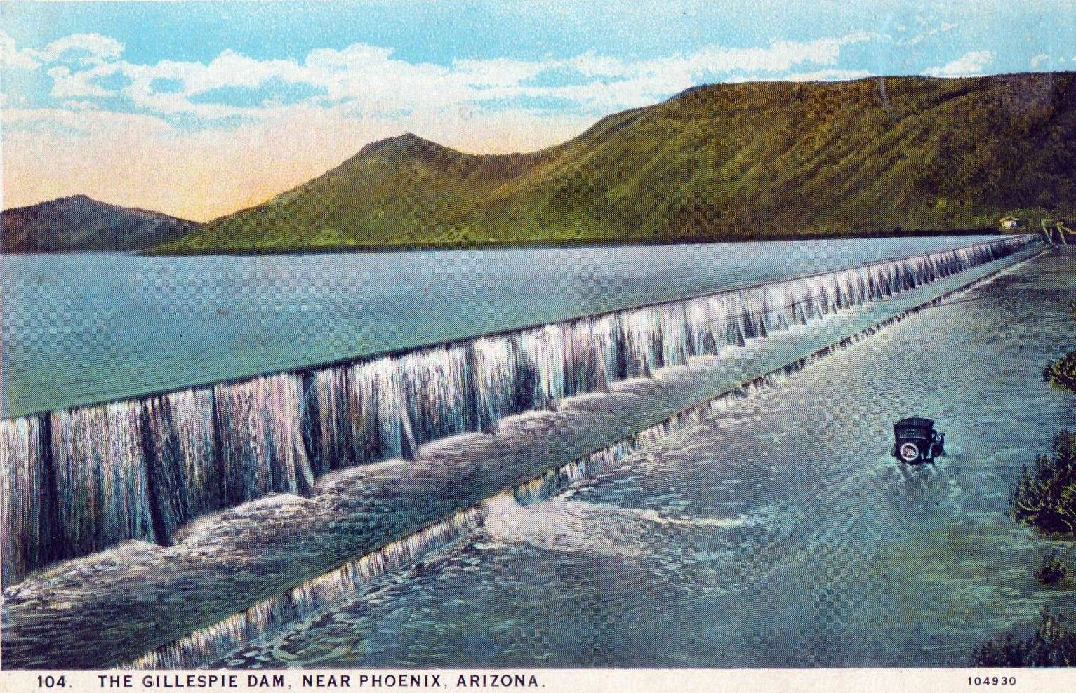
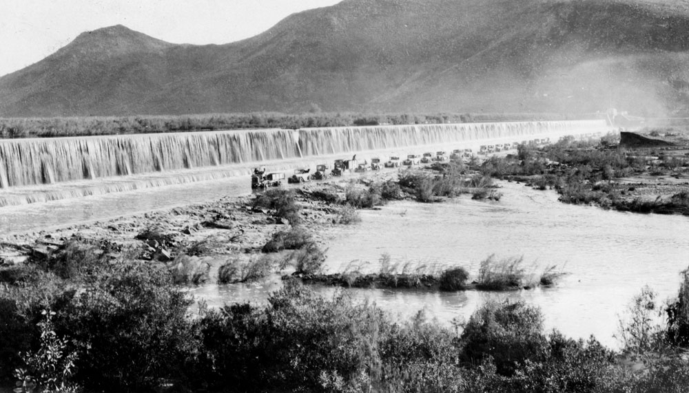
The Gillespie Dam – Built for flood control and irrigation by a local rancher in 1920 to tame the Gila River
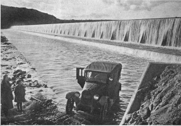
Cars crossing the river on the skirt of the dam – 1920s


In the early days, cars used to have to cross the river at the base of the dam, which could be impossible during heavy runoff or floods.   


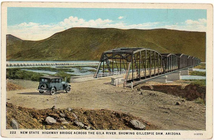
In 1927, they finally built a bridge with the advent of the US HIghway commission. It was the longest steel structure in Arizona at the time.   The road later became US Highway 80 and connected Savannah Georgia to San Diego California. 


In 1993, with unusually heavy rainfall the Gillespie dam failed.    It was never rebuilt, and the bridge was unaffected.

I found the fucker.   I’m a sucker for an old Rusty Bridge.
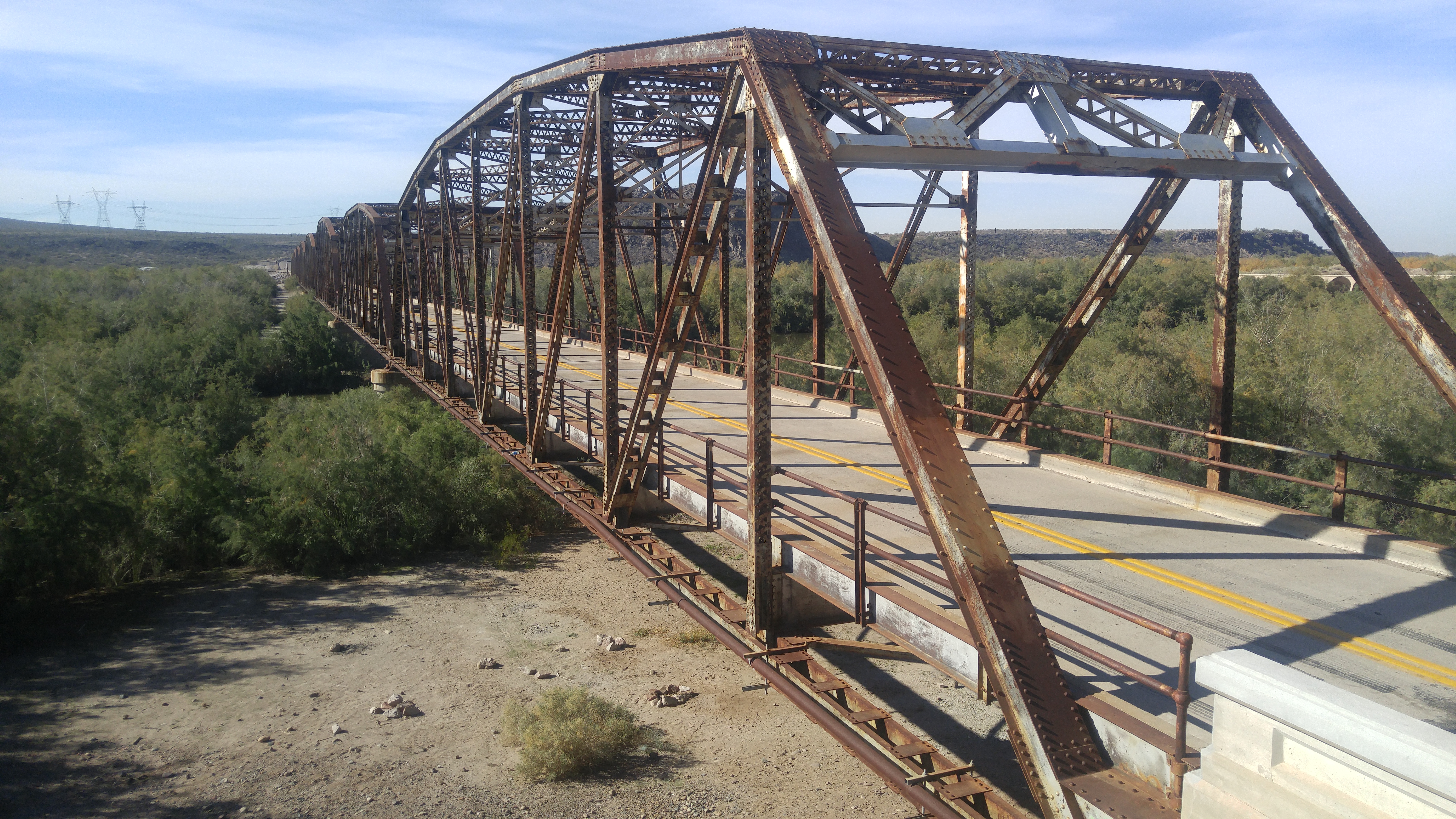
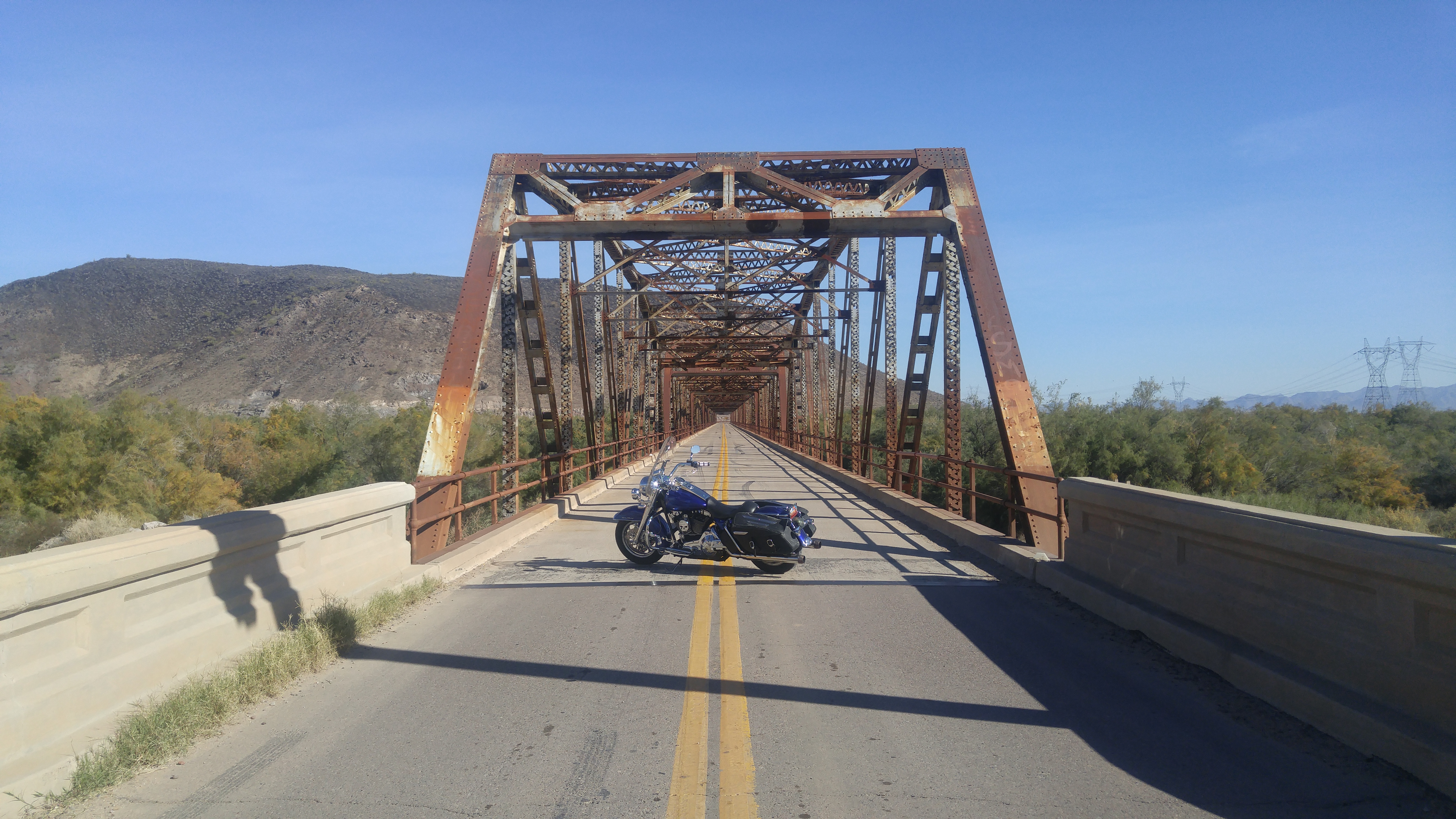
The Gillespie Dam Bridge.


She’s a beautiful old Gal. Fun to ride.


The Breached Gillespie Dam, unchanged since 1993. The Gila River had it’s way, as rivers usually do.


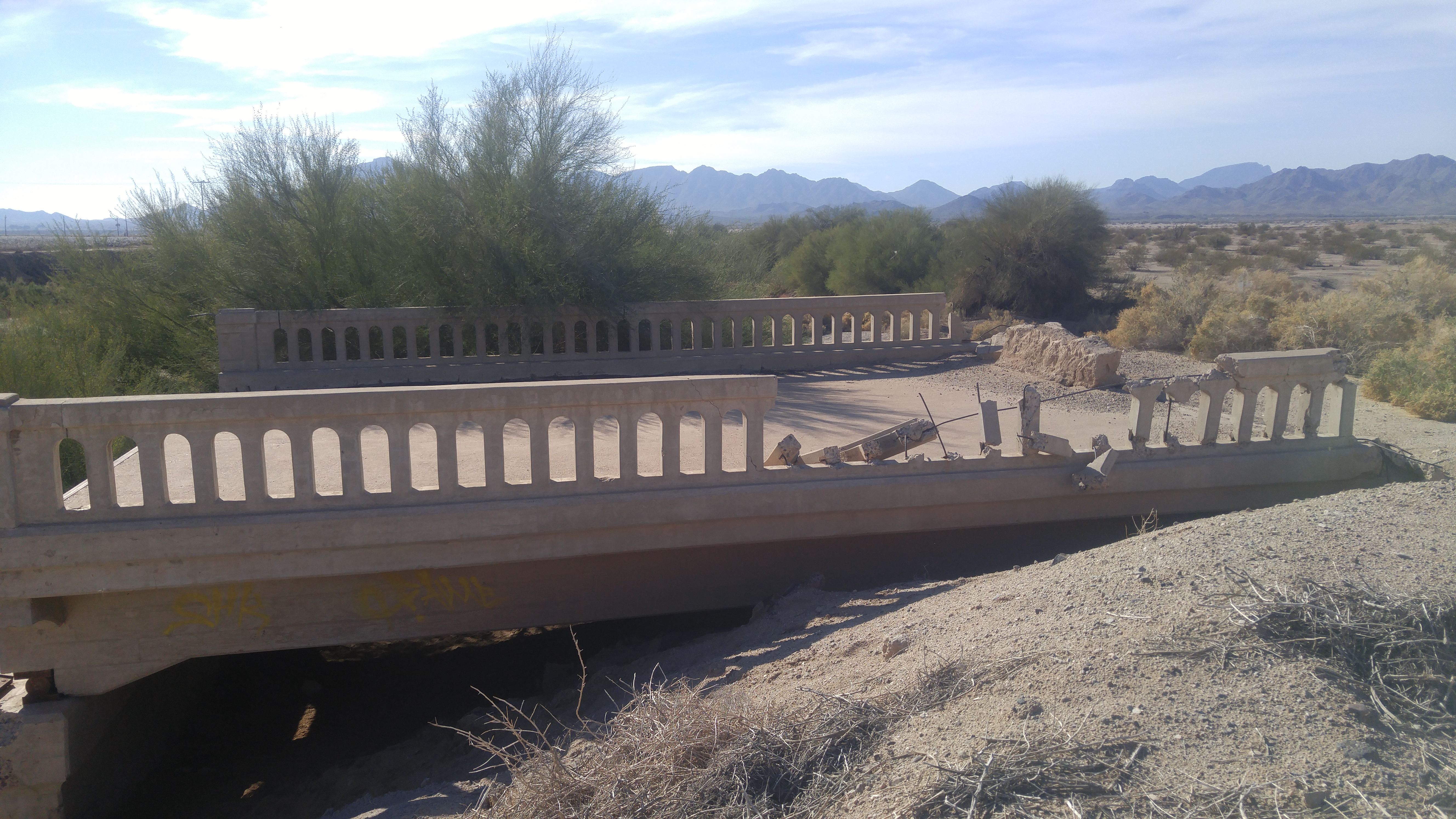
Remnants of old Highway 80 in Arizona.

The ride through old Highway 80 was a really nice ride.   Not much traffic as it goes into Gila Bend.    I was just scouting the perimeter, so I’m pretty sure I’ll be back as I noticed a lot of side roads I’d missed, old towns I’d bypassed and historic markers I wasn’t sure I’d have time to stop and read.   It’s why you scout the perimeter, or at least why I do:   when you go back, there’s always something new to see, learn and wonder about.

I figure it’s winter down here, so Ill see what I can in the southern end of the state while it’s still cool enough to see it.   Come summer, I’m going to want to head north toward route 66 and flagstaff where I don’t get heat stroke.

The ride through the Sonoran desert National Monument was beautiful.    I need more days.   I wasn’t ready to go home.

God, I love Arizona.

1 day, 1 state, 180 miles.


Gillespie Dam Bridge – Gila Bend Arizona Read More »

Day 6: Route 66

Waking up in Kingman on Route 66We stayed at KOA in Kingman and headed out to my favorite stretch I’d been on yet. It wasn’t as deserty as the california stretch and the road was good. We stopped at Grand Canyon Caverns and at Seligman.

At Seligman I had the best burger I’ve ever had in my life at Juan Delgadillos Snow Cap. Juan is a nut. We took a walk down Seligman and found his brothers store, that had all sorts ofSnowball Palace, Grand Canyon Caverns route 66 stuff. We bought 2 T-shirts and a book, and talked for an hour or so. Seligman is a town that refuses to die, and it seems mostly due to the delgadillo brothers. Out of all the route 66 towns Amboy and Seligman seem to have the 66 spirit and wont let it die. The others don’t seem to care too much that I noticed, they were dealing with it.

Anyway, we took a few pictures and some info and left seligman. We passed the crooktown road exit and went into ash fork to get gas athe chevron station. Tried to find the road and bridge that was in the Rider magazine. We never found it. We crossed the railroad tracks, but I think we should’ve gone left instead of right. I was afraid of getting a hole in my tire, and wasnt all that sure it was, so we headed back through ash fork and said goodbye to route 66. On the way to williams, there was a really big abandoned stretch we noticed.Mummified Bobcat,  Grand Canyon Caverns

We went through Williams and the ride was great untill we got to the grand canyon. What a crowded tourist trap! We stayed just outside the park in Tusayan and it sucked. Windy, dirty and noisy. Helicopters constantly landing and taking off right next to the campground.

[googlemaps http://maps.google.com/maps?f=d&hl=en&geocode=17993792335159316445,35.527404,-113.432183%3B17089950981724175164,35.320728,-112.849290%3B1487652939200003640,35.967730,-112.129110&saddr=kingman+AZ&daddr=AZ-66+%4035.527404,+-113.432183+to:35.317366,-112.818604+to:US-180+%4035.967730,+-112.129110&mra=dme&mrcr=0&mrsp=2&sz=10&via=1,2&sll=35.290469,-112.723846&sspn=0.949413,1.463928&ie=UTF8&s=AARTsJrA2MgSicKspQazD69XdpZMPL18sQ&ll=35.541166,-112.994385&spn=1.564398,2.334595&z=8&output=embed&w=425&h=350]

Day 6: Route 66 Read More »