St George to California, Day 7
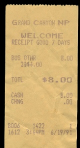
 We left Tusayan and drove through the South Rim of the Grand Canyon about 10:00 AM and headed for home. It was on highway 89. Not much to see. Its mostly indian reservation & Dirty little towns. There seems to be more Stands selling indian jewelry than the homes they live in. We got gas at the Gap, travelled for a few hours till Jacob Lake where we gassed up again and ate. We loaded up, and headed for the final stretch home. The trip was over, and I know if we had more money Robyn would agree we’d have stayed longer. I was familar with the road home so I just opened it up and we did 80 most of the way. The best vacation I’d ever been on was over. It’d been like a dream we’d waited for since before we were married and it was done now. I was sad to see it end.
Total Money Spent: $635.00
Souveniers:
- 2 Disneyland T Shirts
- 2 In-n-Out burger T shirts
- 3 route 66 T shirts
- 1 Route 66 book by michael wallis

- 1 Route 66 pin
- 1 Disneyland Key Chain
- $2 watch
- 1 Disneyland book
Items Lost:
- 1 bota bag full of water (somewhere on route 66)

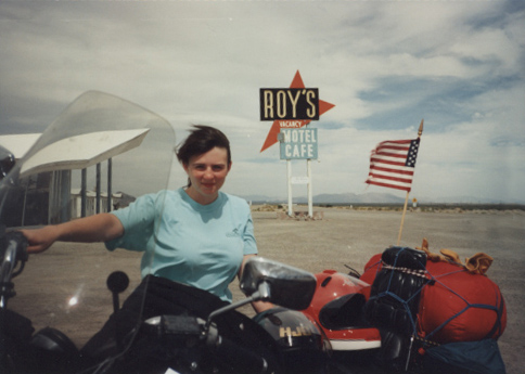
- 1 American flag (on route 66)
- 1 watch (on splash mountain)
- 1 thing of carmex
- [googlemaps http://maps.google.com/maps?f=d&hl=en&geocode=11440821376616549264,35.957290,-112.131900%3B16062662589442223005,37.109950,-113.583300&saddr=US-180+%4035.957290,+-112.131900&daddr=36.925743,-112.294006+to:E+St+George+Blvd+%4037.109950,+-113.583300&mra=dpe&mrcr=0&mrsp=1&sz=9&via=1&sll=36.564806,-112.563171&sspn=1.868426,2.927856&ie=UTF8&s=AARTsJqAfGosUXjkn8_qdJrrJP0GMYEsDw&ll=36.564806,-112.563171&spn=3.088333,4.669189&z=7&output=embed&w=425&h=350]
St George to California, Day 7 Read More »


